Rossinière - Lac du Vernex - Montbovon - Lessoc - Grandvillard - Gruyères
Angaben zur Wanderroute
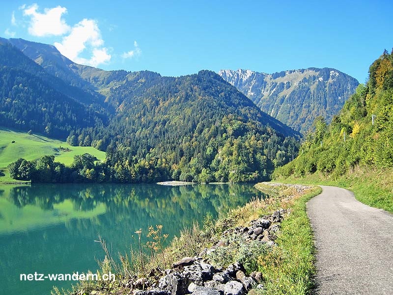
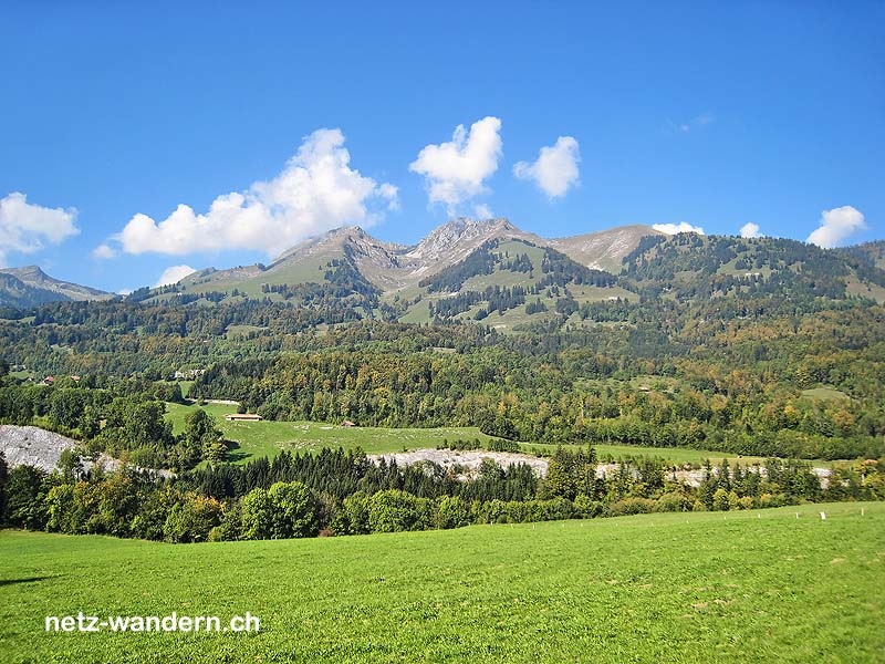
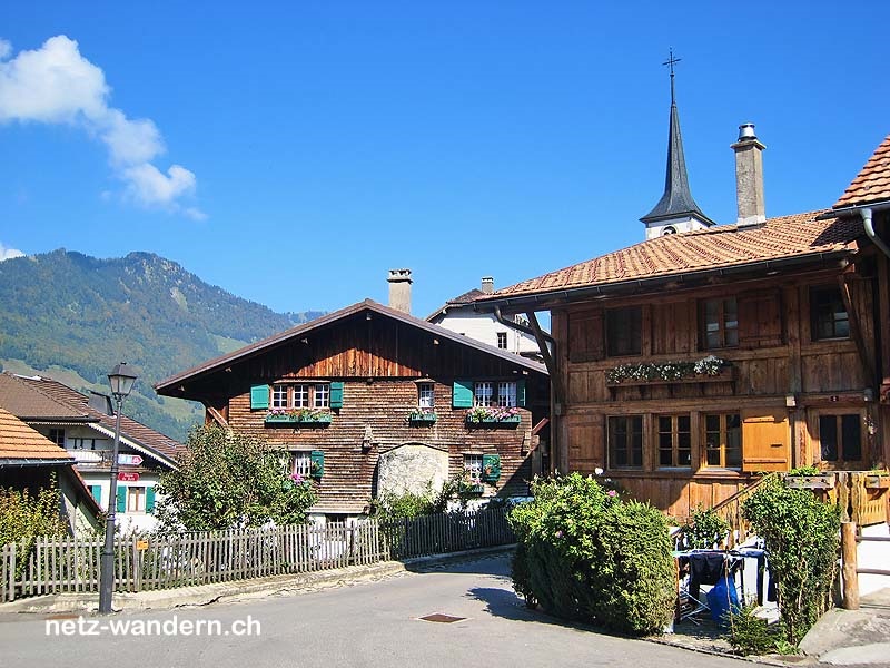
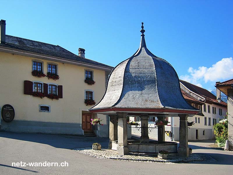
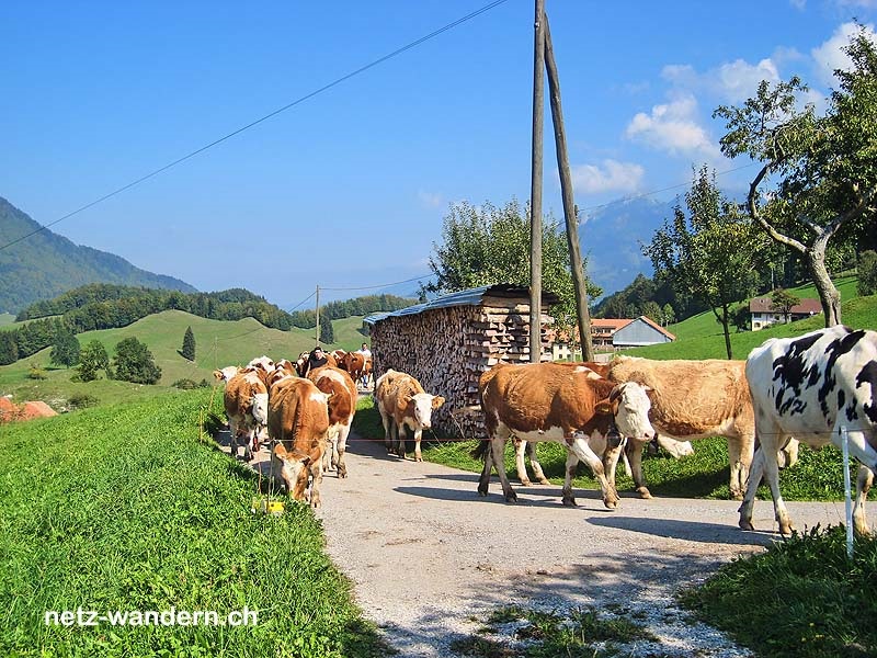
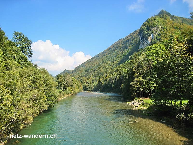
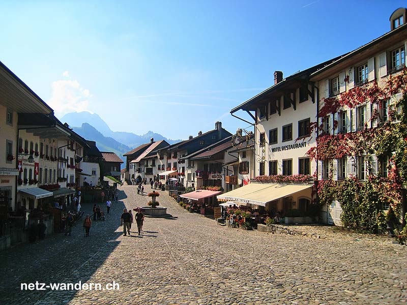
Kurzbeschreibung Route: Rossinière (Bahn) - Lac du Vernex - Traylasille - Montbovon, Centrale hydroélectrique - La Gîte - Lac de Lessoc - La Delèze - Au Torrent - Lessoc - La Combe - Les Raquiers - Le Buth - Comb'Arimbourg - Grandvillard - Grandvillard, Lormo (Bus) - Les Greves - Le Pont - Gruyères - Gruyères, ville (Bus) - Gruyères (Bahn)
Kantone: Freiburg FR, Waadt VD | Regionen: La Gruyère, Pays d'Enhaut | Gemeinden: Bas-Intyamon FR, Grandvillard FR, Gruyères FR, Haut-Intyamon FR, Rossinière VD
- Wander- / Wegbeschreibung (PDF-Datei)
- Wanderroute (KML-Datei)
- Wanderroute (Direktimport in Swisstopo-App. Voraussetzung: App auf Smartphone / Tablet installiert)
- Karte/Route (Ansehen / Ausdrucken in SchweizMobil. Als Abonnent/-in SchweizMobil Plus Import in eigene Tourenliste möglich)
Informationen zum Wandervorschlag
Start- / Zielort
- Start: Rossinière (Bahn / VD)
- Ziel: Gruyères (Bahn / FR)
Wanderdaten
- Gehzeit: 6h15 (retour: 6h25)
- ↦ 23,3 km | ↑ 600 m | ↓ 745 m
- min. 694 m.ü.M. | max. 1'036 m.ü.M.
Schwierigkeitsgrad
- Technik: leicht (T1, Wanderweg gelb)
- Kondition: schwer (Gehzeit, Länge)
Jahreszeit
- ca. März bis Oktober
Highlights
Verpflegung / Unterkunft
- Verpflegung aus dem Rucksack
Webcams / Wetter
- Webcams: Gruyères FR (SwissWebcams)
- Wetter: Rossinère VD (SRF Meteo)
Wanderkarten
- Swisstopo Landeskarten 1:25000
Nr. 1225 Gruyères & 1245 Châteaux-D'Oex & 1265 Les Mosses - Swisstopo Wanderkarten 1:50000
Nr. 252T Bulle & 262T Rochers de Naye
OeV-Haltestellen
- Rossinière (Bahn / Start)
- La Tine (Bahn / Nähe Route)
- Grandvillard, village (Bus / Nähe Route)
- Gruyères, ville (Bus / Nähe Route)
- Gruyères (Bahn, Bus / Ziel)
Bewertung
- sehr empfehlenswert = ★★★★☆


Wandertipps in der Nähe
- Bulle - Broc - Gruyères (375o1)
- Charmey - Broc - Gruyères (336o1)
- Saanen - Gérignoz - Rossinière (169o1)
- Kantone: Freiburg FR | Waadt VD
- Mikro-Regionen: La Gruyère | Pays d'Enhaut
- Tourismus-Regionen: Freiburg Region | Genferseegebiet (Waadtland)
gewandert: September 2011
aktualisiert: Wanderroute - 01/2022 | übrige Infos - 01/2018
letztes Update: 22.03.2024