Le Pont - L'Abbaye - Les Bioux - Chez le Poisson - Tête du Lac - La Golisse
Angaben zur Wanderroute
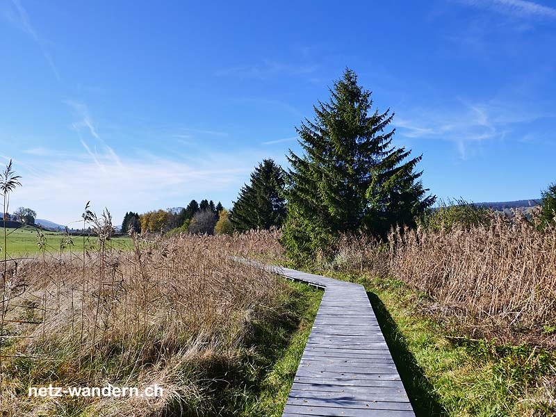
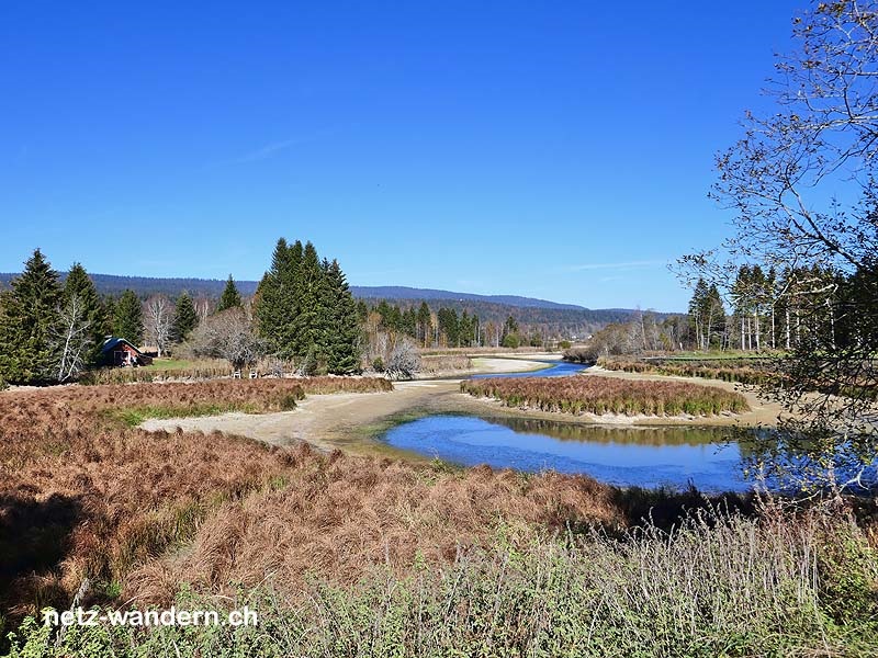
Kurzbeschreibung Route: Le Pont (Bahn, Bus) - Lac de Joux - Le Pont, église (Bus) - L'Abbaye, Prés des Rives - L'Abbaye - L'Abbaye, Les Collondès - Groenroux - Camping A la Ferme bei Chez Grosjean - Les Bioux [lac] (Schiff) - Les Bioux, Kläranlage L'Abbaye/Les Bioux - Les Bioux - La Prairie - Chez le Poisson - L'Orbe - Tête du Lac - Le Sentier, L'Arcadie - Solliat-Golisse (Bahn)
Kanton: Waadt VD | Region: La Vallée | Gemeinden: L'Abbaye VD, Le Chenit VD
- Wander- / Wegbeschreibung (PDF-Datei)
- Wanderroute (KML-Datei)
- Wanderroute (Direktimport in Swisstopo-App. Voraussetzung: App auf Smartphone / Tablet installiert)
- Karte/Route (Ansehen / Ausdrucken in SchweizMobil. Als Abonnent/-in SchweizMobil Plus Import in eigene Tourenliste möglich)
Informationen zum Wandervorschlag
Start- / Zielort
- Start: Le Pont (Bahn / VD)
- Ziel: Solliat-Golisse (Bahn / VD)
Wanderdaten
- Gehzeit: 3h05 (retour: 3h05)
- ↦ 12,8 km | ↑ 65 m | ↓ 60 m
- min. 1'005 m.ü.M. | max. 1'012 m.ü.M.
Schwierigkeitsgrad
- Technik: leicht (T1, Wanderweg gelb)
- Kondition: mittel (Gehzeit, Länge)
Jahreszeit
- ca. April bis Oktober
Highlights
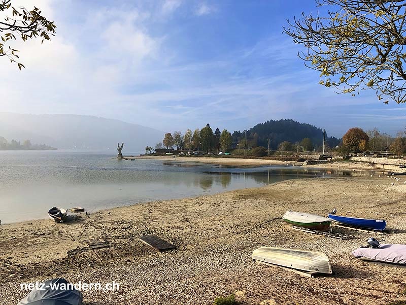
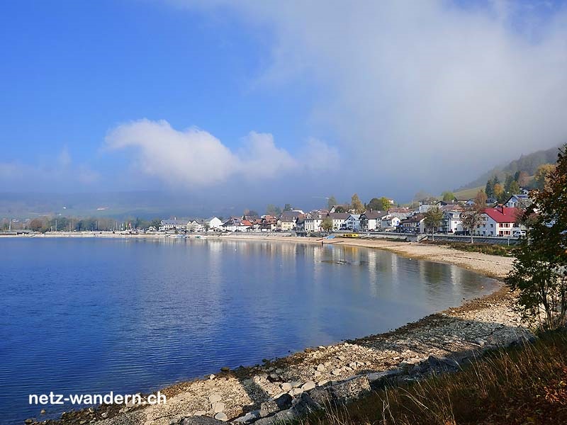
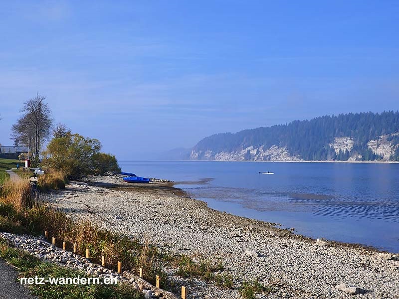
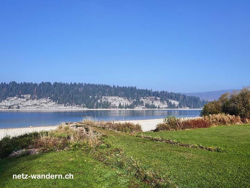
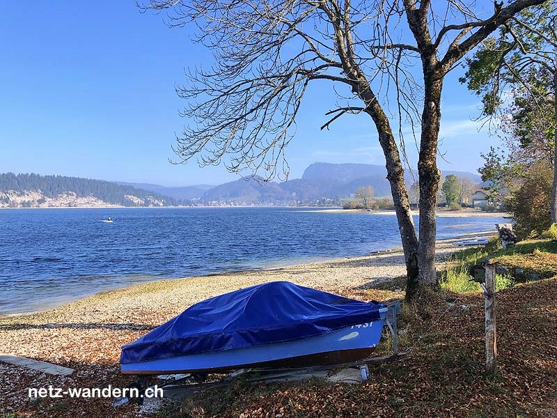
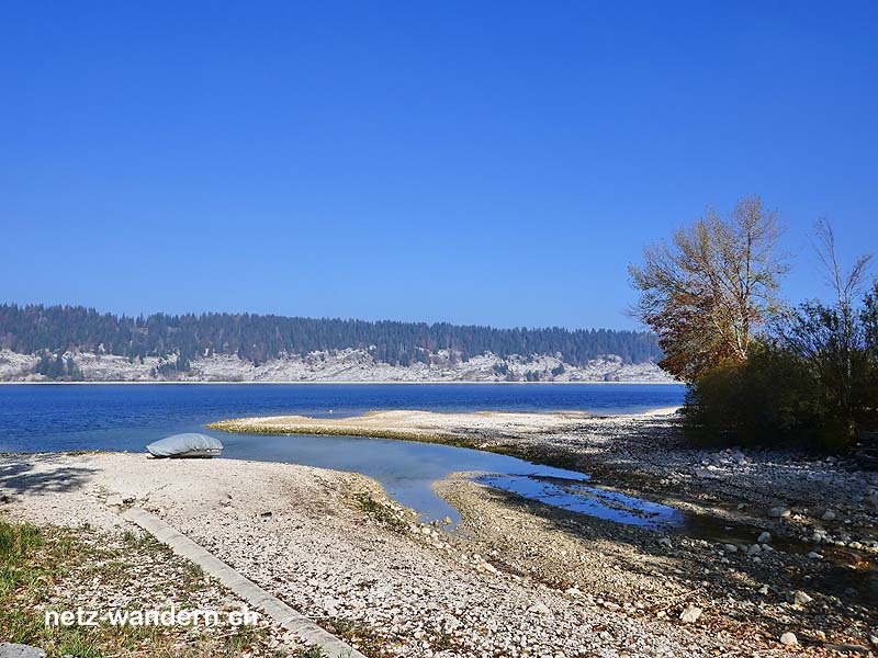
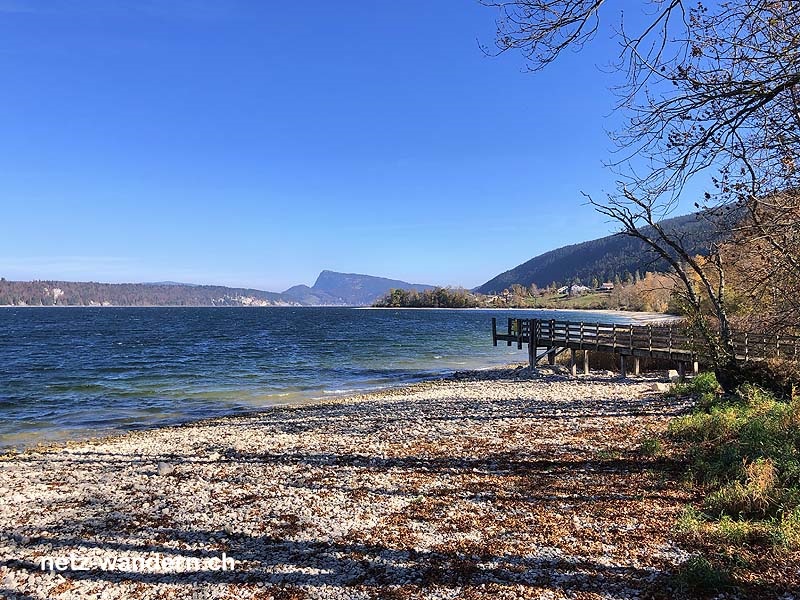
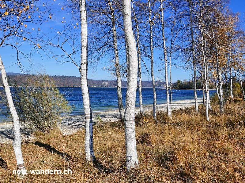
- Der Lac de Joux
Verpflegung / Unterkunft
- Le Pont VD: Du Lac (Restaurant, 021 841 12 96)
- ... oder Verpflegung aus dem Rucksack
Webcams / Wetter
- Webcams: Le Chenit VD (SwissWebcams)
- Wetter: Le Pont VD (SRF Meteo)
Wanderkarten
- Swisstopo Landeskarten 1:25000
Nr. 1221 Le Sentier & 1222 Cossonay - Swisstopo Wanderkarten 1:50000
Nr. 251T La Sarraz
OeV-Haltestellen
- Le Pont (Bahn, Bus / Start)
- Le Pont, église (Bus / Route)
- Solliat-Golisse (Bahn / Ziel)
Merkmale
- Seewanderung: Lac de Joux
Bewertung
- empfehlenswert = ★★★☆☆


Wandertipps in der Nähe
- Kanton: Waadt VD
- Mikro-Region: La Vallée
- Tourismus-Region: Genferseegebiet (Waadtland)
gewandert: Oktober 2018
aktualisiert: Wanderroute - 10/2018 | übrige Infos - 10/2018
letztes Update: 23.03.2024