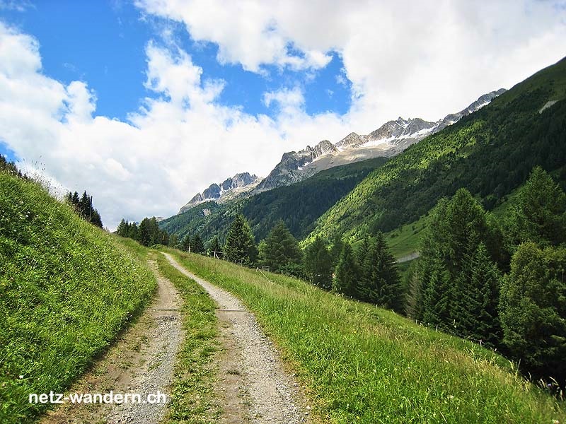
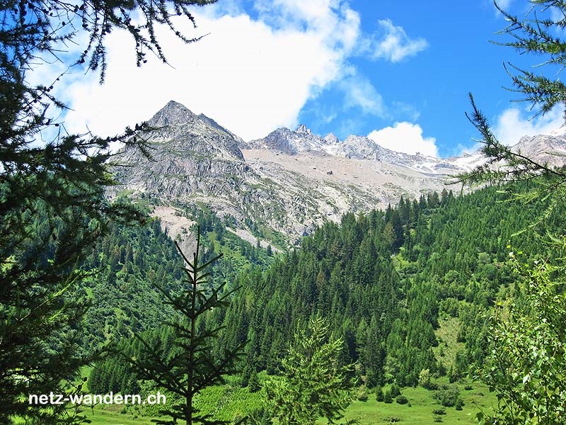
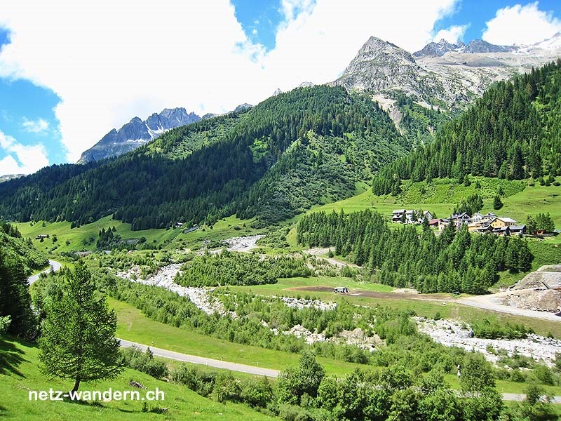
Airolo - Tamblina - Fontana - Ossasco - Gana - Prato - All'Acqua
Angaben zur Wanderroute
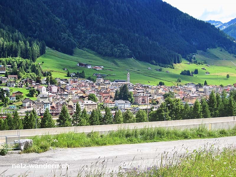
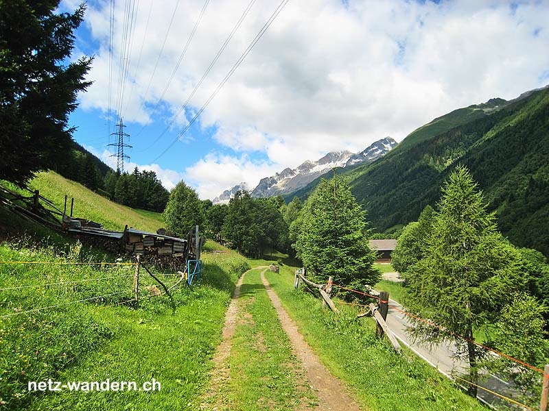
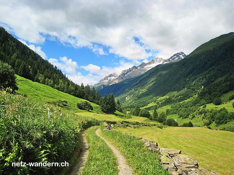
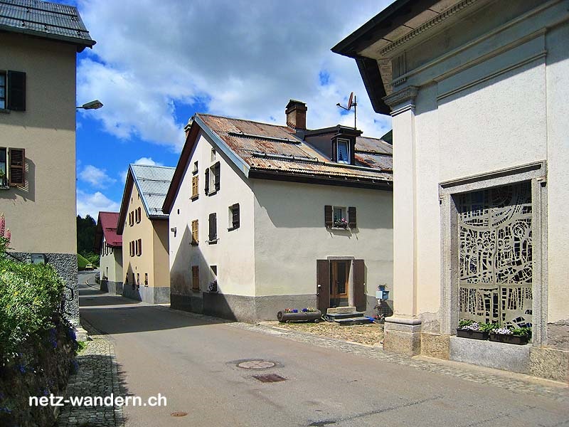
Kurzbeschreibung Route: Airolo (Bahn, Bus) - Caseificio del Gottardo - Tamblina - Cioss di Fuori - Cioss di Sopra - Fontana, Paese (Bus) - Bombel - Löit - Pru Grand - Ossasco [Bedretto] (Bus) - Maggengo - Piéi - Gana - Gallinoso - Cioss Prato [Bedretto] (Bus) - All'Acqua (Bus)
Kanton: Tessin TI | Region: Tre Valli | Gemeinden: Airolo TI, Bedretto TI
- Wander- / Wegbeschreibung (PDF-Datei)
- Wanderroute (KML-Datei)
- Wanderroute (Direktimport in Swisstopo-App. Voraussetzung: App auf Smartphone / Tablet installiert)
- Karte/Route (Ansehen / Ausdrucken in SchweizMobil. Als Abonnent/-in SchweizMobil Plus Import in eigene Tourenliste möglich)
Informationen zum Wandervorschlag
Start- / Zielort
- Start: Airolo (Bahn / TI)
- Ziel: All Acqua (Bus / TI)
Wanderdaten
- Gehzeit: 4h10 (retour: 3h40)
- ↦ 14,2 km | ↑ 705 m | ↓ 230 m
- min. 1'134 m.ü.M. | max. 1'616 m.ü.M.
Schwierigkeitsgrad
- Technik: mittel (T1, Wanderweg gelb & T2, Bergwanderweg weiss-rot-weiss)
- Kondition: mittel (Gehzeit, Länge, Hm aufwärts)
Jahreszeit
- ca. Mai bis Oktober
Highlights
Verpflegung / Unterkunft
- Airolo TI: Forni (Hotel, Restaurant, 091 869 12 70)
- ... oder Verpflegung aus dem Rucksack
Wanderkarten
- Swisstopo Landeskarten 1:25000
Nr. 1251 Val Bedretto - Swisstopo Wanderkarten 1:50000
Nr. 265T Nufenenpass
OeV-Haltestellen
- Airolo (Bahn, Bus / Start)
- Airolo FAB (Seilbahn / Route)
- Fontana, Paese (Bus / Route)
- Ossasco [Bedretto] (Bus / Route)
- Cioss Prato [Bedretto] (Bus / Route)
- All' Acqua (Bus / Ziel)
Merkmale
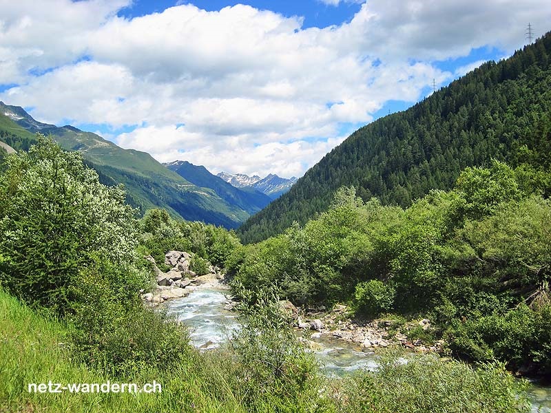
- Flusswanderung: Ticino
Bewertung
- sehr empfehlenswert = ★★★★☆


Wandertipps in der Nähe
- All‘ Acqua - Alpe di Cruina - Nufenenpass (095r1)
- Airolo - Altanca - Faido (114o1)
- Gotthardpass - Val Tremola - Airolo (067r1)
gewandert: Juli 2008
aktualisiert: Wanderroute - 05/2020 | übrige Infos - 01/2018
letztes Update: 22.03.2024